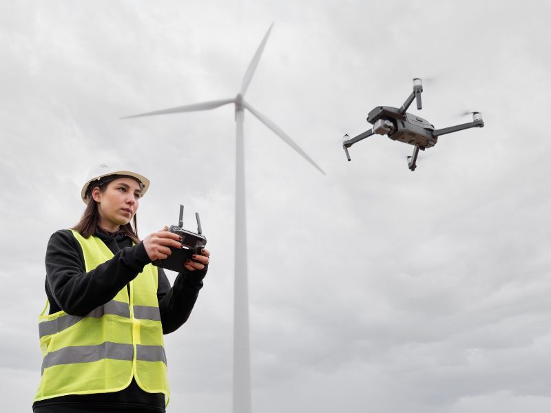
DRONE SURVEYS & MAPPING
VANCOUVER
Lil Mount provides professional drone surveying and aerial mapping services in Vancouver and across BC. Our Transport Canada-certified pilots use the latest drone and photogrammetry technology to deliver centimeter-grade accuracy for construction, engineering, and infrastructure projects. From orthomosaic mapping and volumetric analysis to progress monitoring and inspections, we help contractors, developers, and municipalities reduce risk, save time, and improve decision-making.
Orthomosaic Mapping for Construction Projects
Our orthomosaic maps transform hundreds of high-resolution aerial images into a georeferenced, true-to-scale representation of your site. This allows project teams to plan layouts with confidence, monitor environmental or structural changes, and maintain clear records of existing conditions. Unlike outdated satellite imagery, orthomosaic mapping provides the precision needed for compliance, reporting, and defensible documentation throughout the construction process.

Volumetric Analysis with Drone Surveys
Accurate volume measurement is critical in construction and earthworks. With drone-based volumetric analysis, stockpiles, cut-and-fill areas, and material movements can be measured safely and efficiently. Our 3D point cloud models provide precise data for billing, progress verification, and project reporting, eliminating the uncertainty of manual surveys. By combining accuracy with faster turnaround times, drone volumetric surveys deliver measurable value to contractors and stakeholders.
.jpg)
Progress Monitoring with Aerial Data
Construction projects demand accountability and transparency at every stage. Our progress monitoring services capture regular aerial updates that track site changes over time. High-resolution photography and 3D comparisons between phases provide stakeholders with a clear record of work completed, while also serving as evidence for compliance and risk management. From excavation to project completion, drone monitoring ensures that your team and investors always have an accurate picture of progress.
.jpg)
Drone Inspections Across Vancouver
Traditional inspections often require scaffolding, lifts, or manual entry into hazardous areas. Our drone inspections eliminate these risks by safely capturing detailed imagery of rooftops, facades, infrastructure, and construction zones. The result is accurate, defensible visual data that supports maintenance planning, early issue detection, and overall site safety. Whether for routine checks or targeted investigations, drone inspections provide an efficient alternative to conventional methods.
Service Areas
We proudly deliver drone surveying and inspection services across Vancouver and the Lower Mainland, including Surrey, Burnaby, Richmond, and North Vancouver. Our teams also serve key project hubs in Kelowna, Penticton, Kamloops, and throughout Western Canada, supporting infrastructure, real estate, and development projects of all sizes.
FAQs About Drone Surveying
Why use drones for inspections and mapping instead of traditional methods?
Drones provide unmatched efficiency, safety, and precision. They can access hard-to-reach areas like rooftops, bridges, and steep terrains without the need for scaffolding or heavy equipment. This significantly reduces inspection time and costs.
Drones also deliver high-resolution imagery, 3D mapping, and real-time data, ensuring accurate insights for decision-making. Their speed and accuracy make them a game-changer for industries relying on timely and reliable information.
What industries benefit the most from drone services?
Industries like construction, infrastructure, real estate, environmental management, and energy benefit significantly from drone services. These sectors use drones for monitoring progress, assessing damages, and conducting land or environmental surveys.
For example, in construction, drones track project milestones, while in infrastructure, they inspect bridges or roads safely and efficiently. Drones offer tailored solutions for diverse project requirements.
How accurate is drone mapping and modeling?
Drone mapping and 3D modeling achieve precision within 2% of ground truth data, making them highly reliable for tasks like volume calculations and site planning.
By using advanced photogrammetry, drones create detailed maps and models, ensuring accuracy for project-critical decisions. This precision is ideal for industries that require exact measurements and comprehensive visual data.
Are drones safe and compliant with regulations?
Drones enhance safety by eliminating the need for workers to operate in hazardous areas, reducing the risk of accidents. They are a safer alternative to traditional inspections that involve climbing or using heavy machinery.
Commercial drones are also required to comply with aviation regulations. Certified operators ensure legal and secure operations while maintaining the highest safety standards.
Are drones cost-effective for inspections and mapping?
Yes, drones save costs by reducing the need for expensive equipment, extensive labor, and longer project timelines. For instance, drones can inspect large areas up to 40% faster, cutting labor and equipment expenses significantly.
Their efficiency translates into reduced downtime, faster project turnaround, and lower overall costs without sacrificing data accuracy or quality.